
By Eddah Waithaka
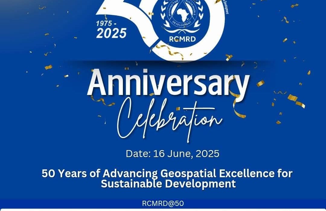
The Regional Centre for Mapping of Resources for Development (RCMRD) celebrates five decades of pioneering geospatial science, remote sensing, and sustainable development across Africa.
Since its founding in 1975, the intergovernmental organization has expanded to serve 20+ member states in Eastern and Southern Africa, driving innovation in land management, climate action, and disaster preparedness.
From UN Initiative to Continental Leader
Originally launched with UN support, RCMRD has grown into a leading force in geospatial technology. It now partners with African governments, NASA, USAID, and the African Union to enhance data sharing, environmental monitoring, and tech transfer.
The Centre’s annual International Conference (RIC) has also become a key forum for experts tackling climate and agricultural challenges.
Hon. Nixon Korir, Principal Secretary for Kenya’s Ministry of Lands & Natural Resources, pledged stronger collaboration with RCMRD to advance land security and climate resilience.
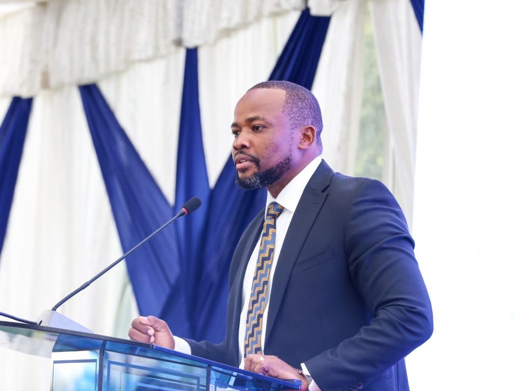
He emphasized the Ministry’s role in adopting RCMRD’s tools for sustainable land use.
The Centre is also investing in Africa’s future by hosting youth mapping competitions and hackathons to spark geospatial innovation. Empowering women through the Women in GMES & Africa network, boosting female leadership in Earth observation. Supporting county governments with localized data to improve service delivery.
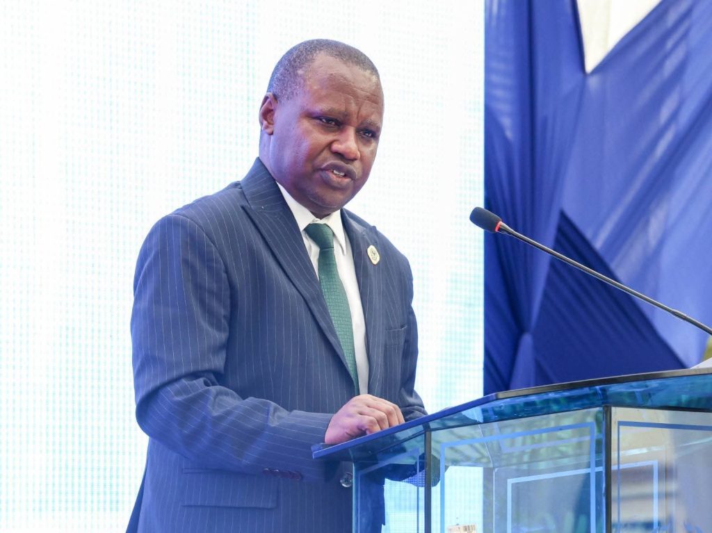
Dr. Emmanuel Nkurunziza, RCMRD Director General, said the milestone “isn’t just about the past, it’s a call to action.”
The Centre plans to expand digital platforms and open-data access, strengthen disaster risk reduction efforts and align with the African Union’s Agenda 2063 for continental development.
“The next chapter will be even more transformative,” Nkurunziza affirmed. “We’re leveraging data to shape Africa’s future.”
RCMRD’s work directly impacts agriculture, climate resilience, and land governance, key pillars for Africa’s development.
Read More Stories At: https://africawatchnews.co.ke/